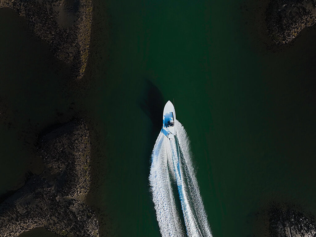
Some of the most productive areas you can fish appear as green blobs on coastal charts. While these areas are exposed to the atmosphere at low tide, they harbor plenty of fish when covered in water. Follow these tips to ensure you don’t damage the delicate marsh environment and end up on The Qualified Captain.
Learn the Waters
To effectively create a mental map of the marsh you intended to fish, you need to visit it at varying stages of the tide. I spend a fair amount of timed trudging through tidal mud at low tide looking for clams, so I know all of my local creeks intimately. If you don’t do this, I suggest at least anchoring the boat and walking the creek banks at dead low.
Proceed With Caution
Once you have a rough idea of where you can motor, do so at idle speed. You’ll want to probe likely areas for fish of course, but you’ll also want to poke around with an eye on the depth finder. Of course, a trolling motor excels here, so use it if you have it. If not, keep your motor tilted up a bit and look for a telltale plume of mud behind you.
Drop Some Breadcrumbs
Though these areas will show up as land on your plotter, you can still leave waypoints, or even better, a trail for you to follow. This will be your roadmap for future visits, but remember it is subject to change—a little bit of silt or an errant crab trap can ruin your day.

